Eastern Shore Trail Expansion: What Baldwin County's Growing Bike-and-Walk Path Means for the Eastern Shore
If you've searched "Eastern Shore Trail Baldwin County" or wondered what all the cones along Highway 98 near the Fish River Bridge are about, here's the short version: Baldwin County is extending the Eastern Shore Trail, and the finished path will run nearly 25 miles.
What the Eastern Shore Trail actually is
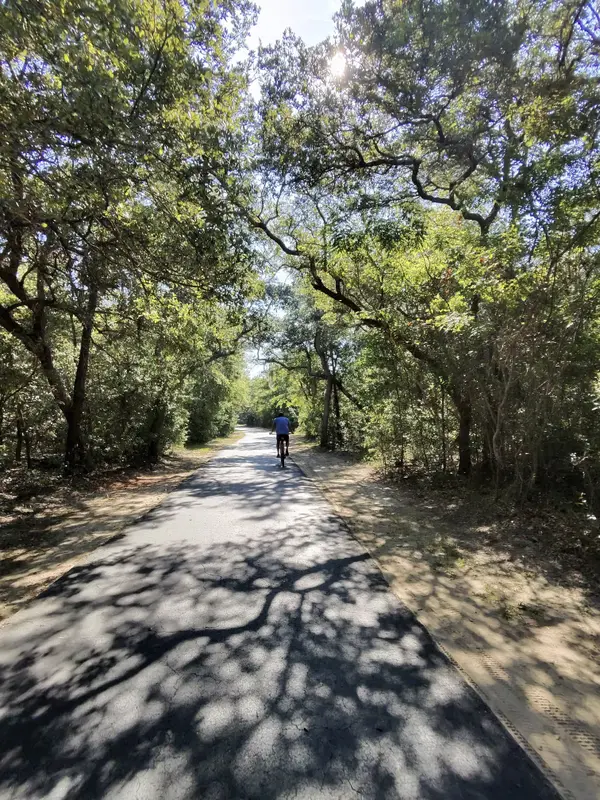
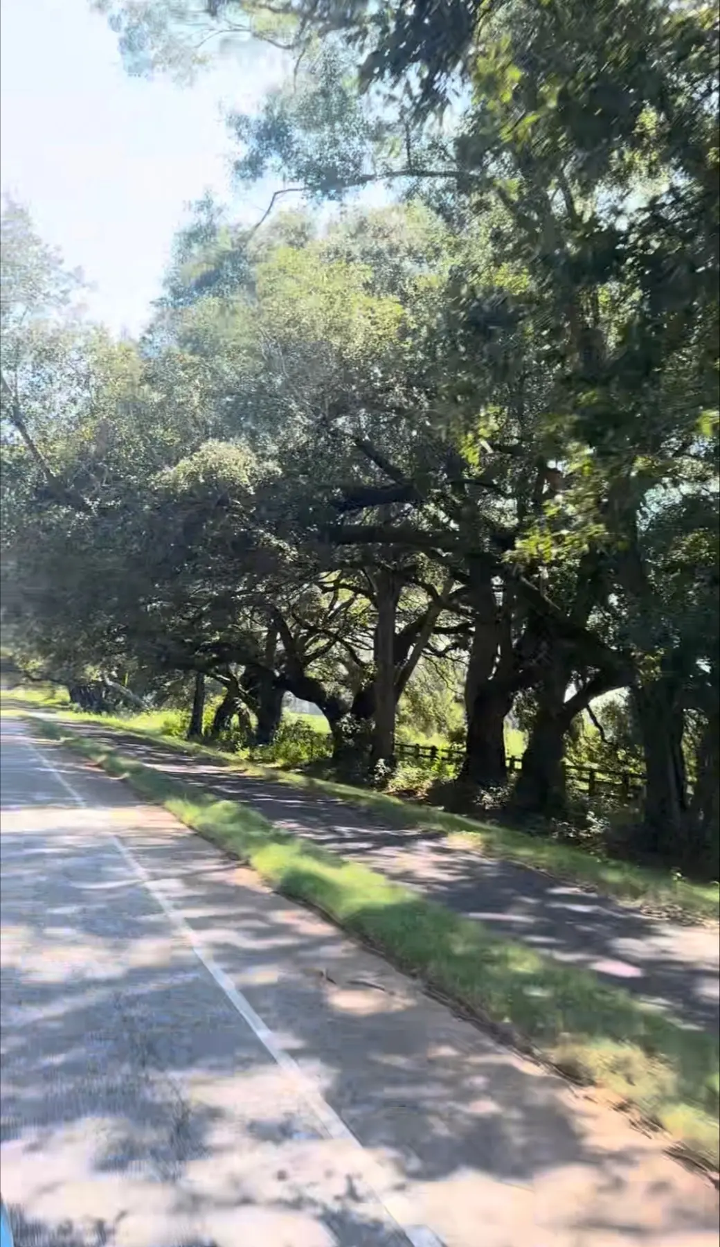
The Eastern Shore Trail is a multi-use path — meaning it's built for walking, running, and cycling — that traces the eastern edge of Mobile Bay. As it stands, it runs from Spanish Fort at Interstate 10, south through Daphne's Montrose Historic District, and along Scenic 98 in Fairhope. That's a stretch of shoreline a lot of people already use daily, and the current work adds to it.
According to reporting from WALA/FOX10 (published Feb. 18, 2026), the newest segment extends the trail east of the Fish River Bridge by nearly two miles. Once that piece is in, Baldwin County Engineer Frank Lundy put the total at about 25 miles — the county's figure lands the full run at 24.8 miles from the I-10 starting point.
What's under construction right now
The active segment is a $2.1 million project, and completion is expected by late summer. The funding came from federal dollars secured by former U.S. Representative Jerry Carl while he was in office. Lundy noted the trail has been built gradually — piece by piece, as grants and funding became available — rather than all at once.
There's also a final phase already earmarked for funding. That last stretch would carry the trail all the way to Magnolia Springs, closing out a vision that's been decades in the making.
Where the idea came from
The trail was originally envisioned by the late Teko Wiseman, an outdoors enthusiast and founder of the Trailblazers of Baldwin County. That group raised money to match grants and help build the path over the years. It's a good reminder that a lot of the infrastructure that makes a place enjoyable to live in didn't happen by accident — someone pictured it first and then chipped away at it.
Why connected trails matter if you're looking at the Eastern Shore
I work with clients across the Alabama Gulf Coast, and the Eastern Shore — Daphne, Spanish Fort, Fairhope, Point Clear — is an area people ask me about often. When they do, connectivity is usually near the top of the list. Not square footage first, not finishes first — how easy it is to actually get outside and use the place.
A continuous, nearly-25-mile path changes that math in a concrete way. It means you can walk or ride longer distances without stitching together sidewalks and shoulders. It links communities that used to feel separate. And it puts the bay in front of you for miles, which is a big part of why people are drawn to this side of the water in the first place.
If you're relocating from out of state and trying to picture daily life here, this is the kind of detail worth tracking. Trail access, boat launches, park improvements, and highway connections tell you where a community is putting its energy — and they shape how a place feels to live in far more than a listing photo does.
A note on the construction itself
If your commute or weekend drive takes you along Highway 98 near Fish River, expect continued lane work over the coming months. It's the ordinary friction that comes before the payoff. When it's done, you'll have more room to walk, ride, and take in Mobile Bay — and eventually a path that reaches from Spanish Fort down to Magnolia Springs.
Thinking about a move to the Eastern Shore or anywhere along the Alabama and Florida Gulf Coast? I'm happy to walk you through what daily life actually looks like in the areas you're weighing. Reach Katie Ragland, Realtor® · Real Broker, LLC at 256-366-6974 or follow me on Instagram at @katie_ragland_realestate.
Categories
Recent Posts